Log in
All resources
Create a design
33,402 Free Images of 1680 Maps
maps made in the 17th century
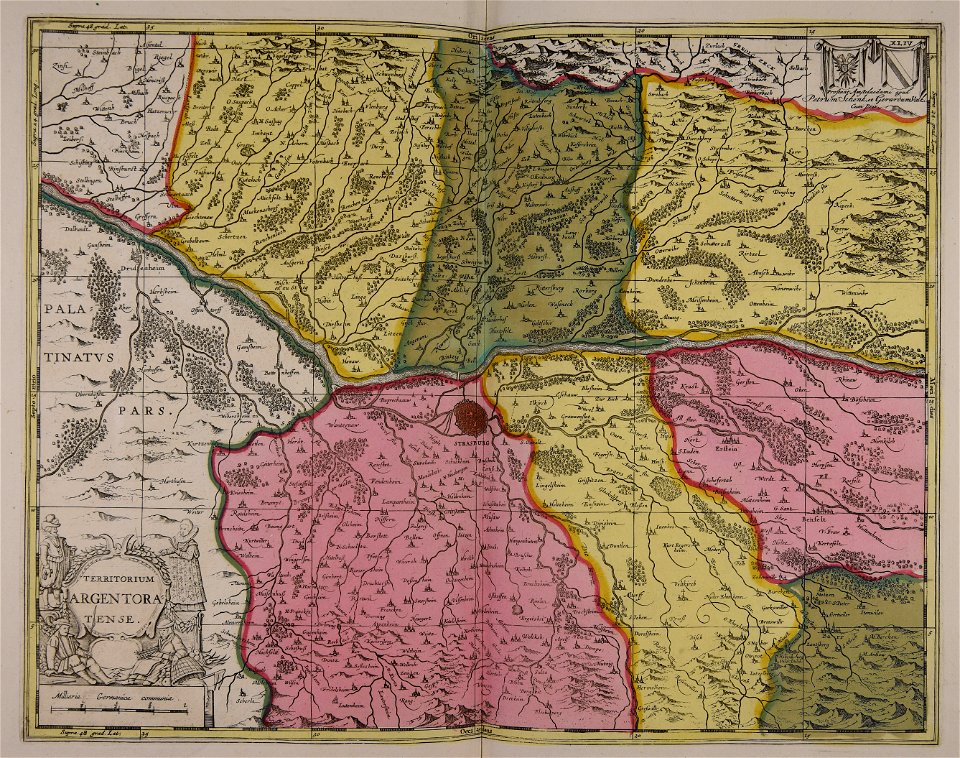
maps by pieter schenk (i)
gerard valck
maps in the library of congress
atlantis magni tomus tertius (biblioteca comunale di trento)
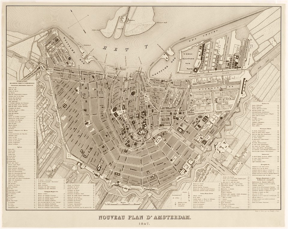
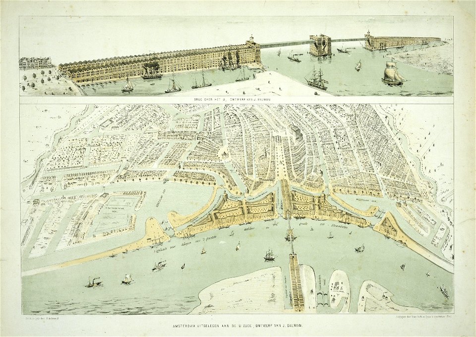
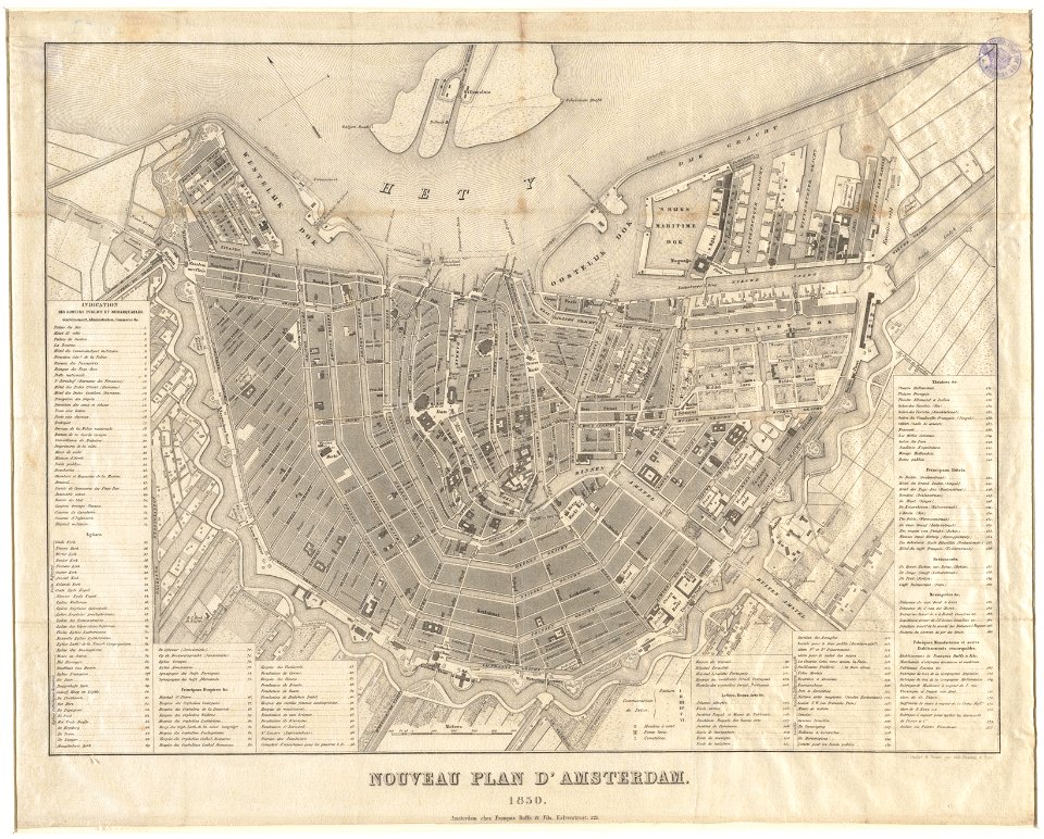
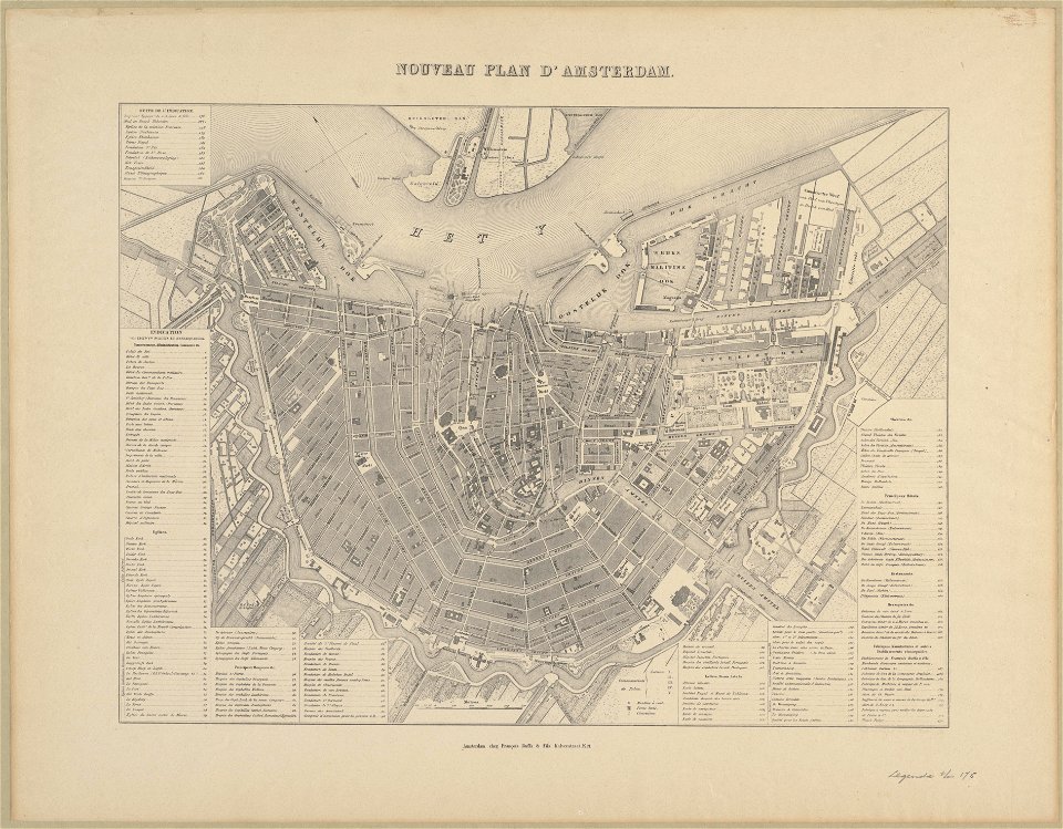
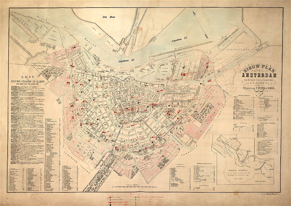
maps in the stadsarchief amsterdam
old maps of amsterdam
atlantis magni tomus secundus (biblioteca comunale di trento)
published by frans buffa & zonen
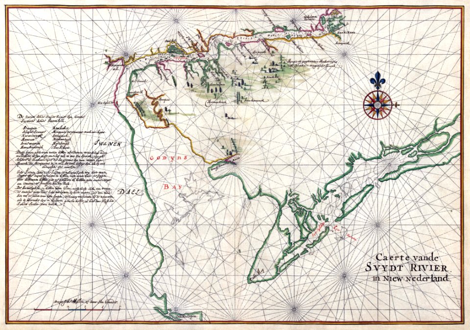
new york
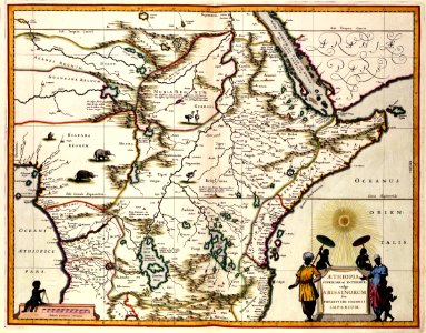
18th-century maps of indonesia
1757
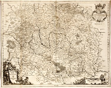
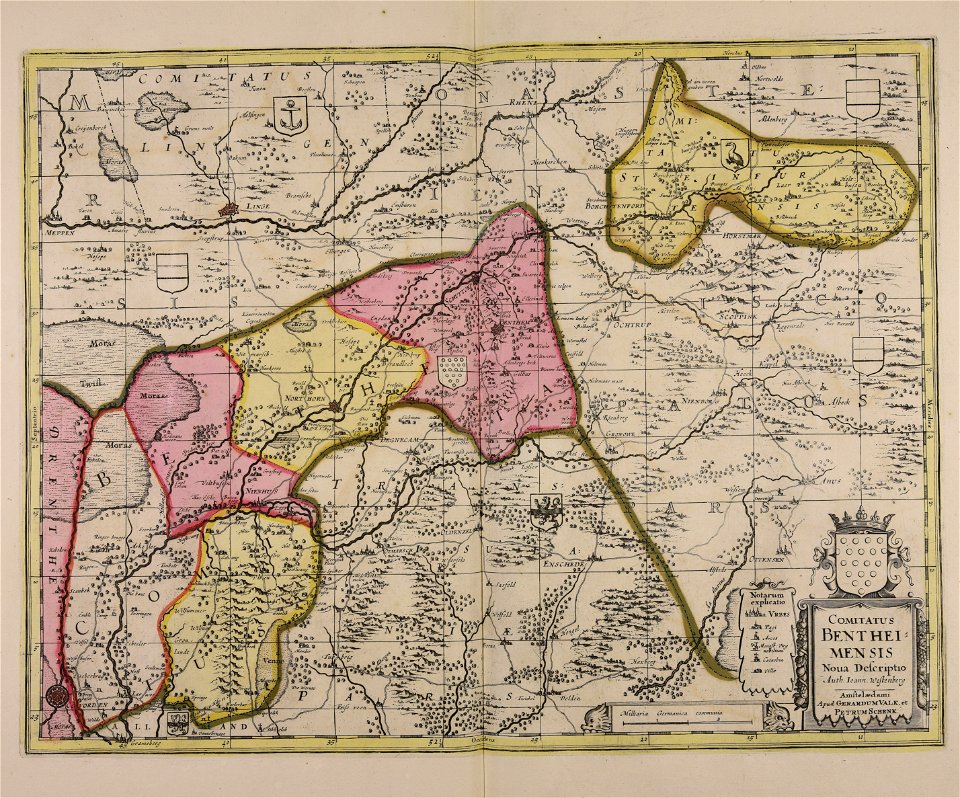
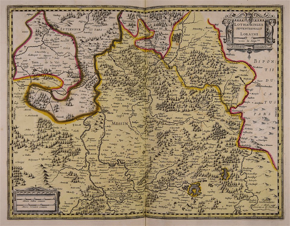
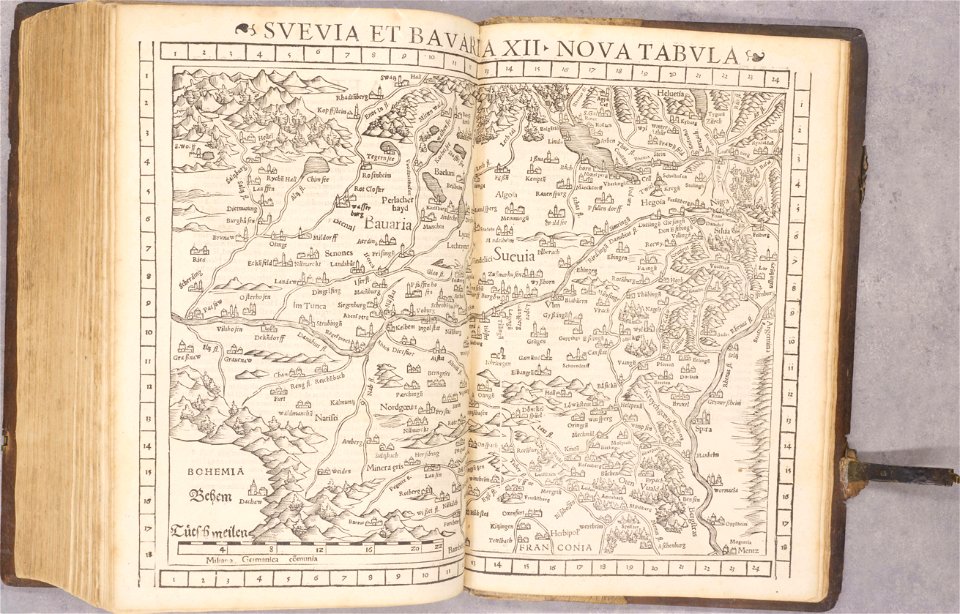
1642 maps of bavaria
franconia
maps made in the 17th century
gerard valck
maps with cartouches
atlas van der hagen
atlas van der hagen (volume 4)
maps with cartouches
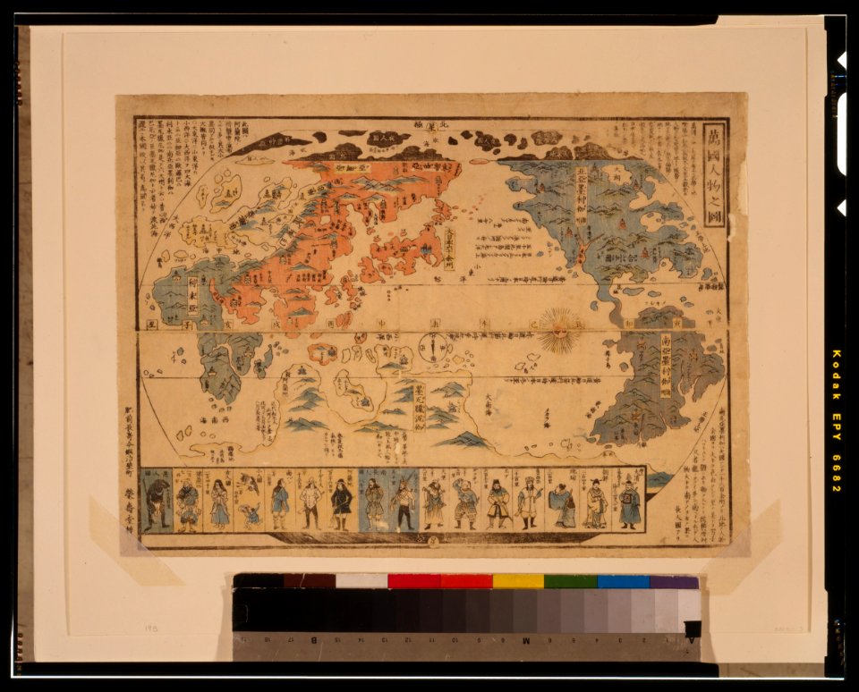
ukiyo-e by unknown artists
1800s maps of the world
ukiyo-e by unknown artists
1800s maps of the world
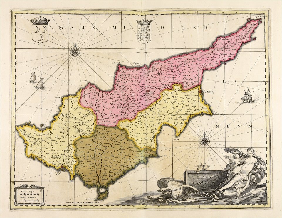
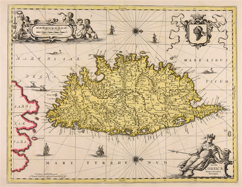
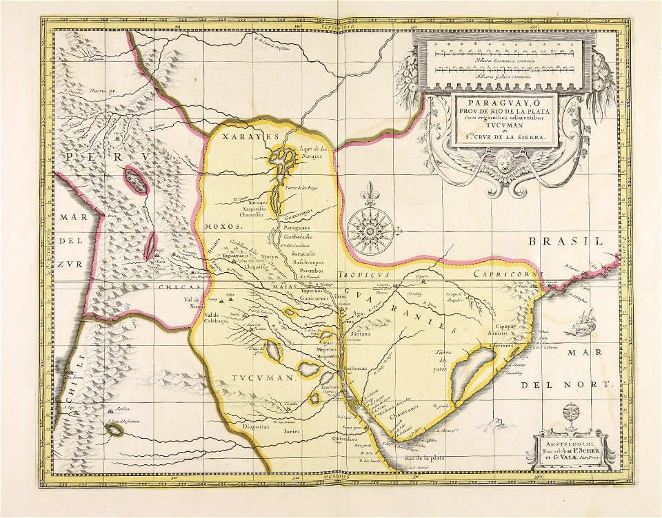
maps made in the 17th century
gerard valck
old maps of the strait of magellan
voyage au pôle sud
maps in the library of congress
new york
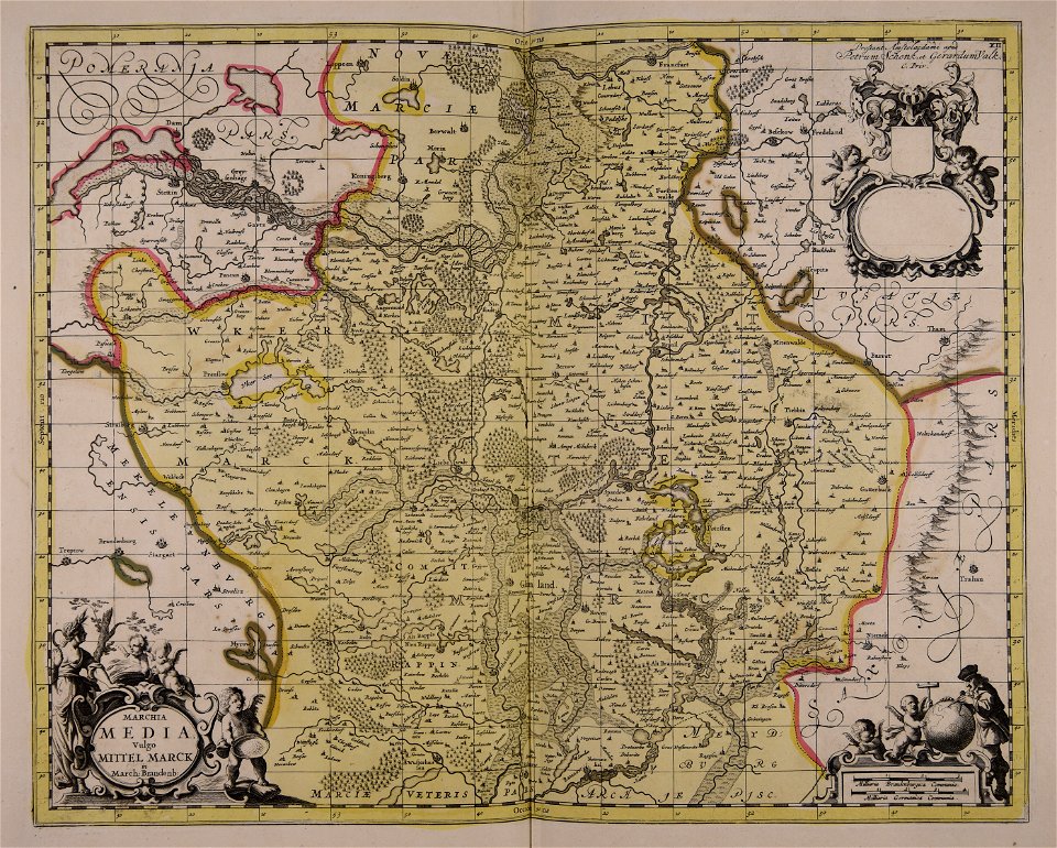
maps made in the 18th century
maps by pieter schenk (i)
maps in the library of congress
new york
maps made in the 17th century
gerard valck
maps made in the 17th century
gerard valck
maps made in the 17th century
gerard valck
maps made in the 17th century
gerard valck
maps made in the 17th century
gerard valck
maps made in the 17th century
gerard valck
maps made in the 17th century
gerard valck
maps made in the 17th century
gerard valck
maps made in the 17th century
gerard valck
maps in the library of congress
new york
old maps of silesia
gerard valck
maps made in the 17th century
gerard valck
maps made in the 17th century
nicolaes visscher ii
old maps of styria
gerard valck
old maps of nuremberg
gerard valck
maps in the library of congress
new york
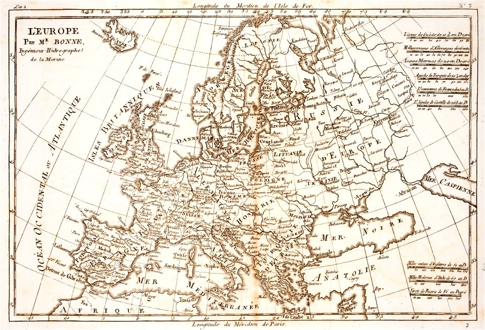
prints from bonne atlas de toutes les parties at the peace palace library
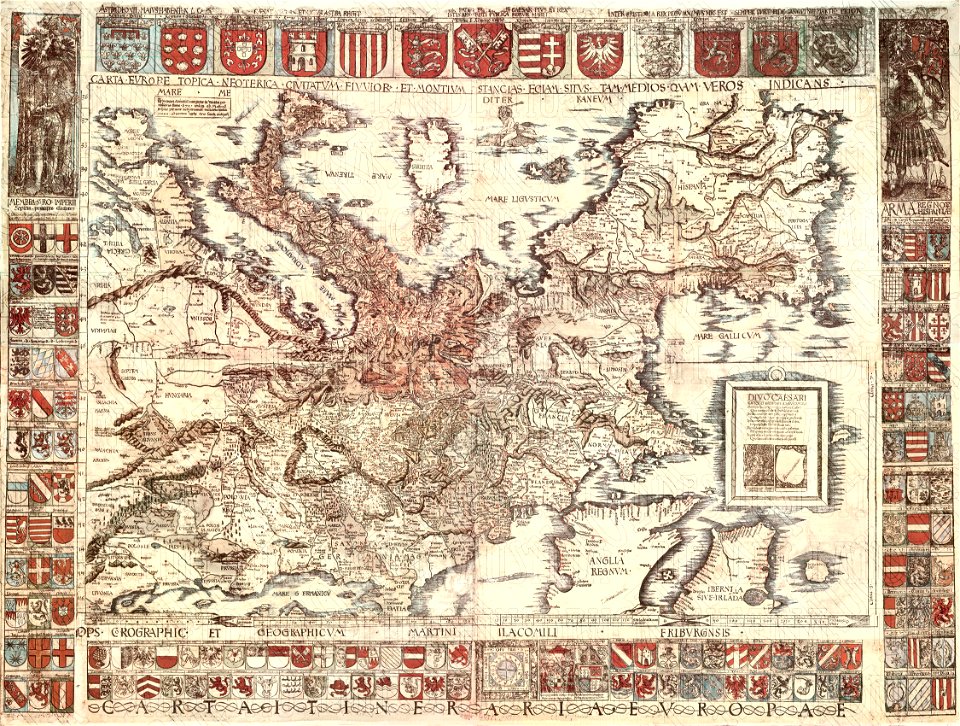
18th-century maps of europe
prints from bonne atlas de toutes les parties at the peace palace library
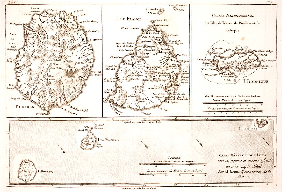
maps of rodrigues island
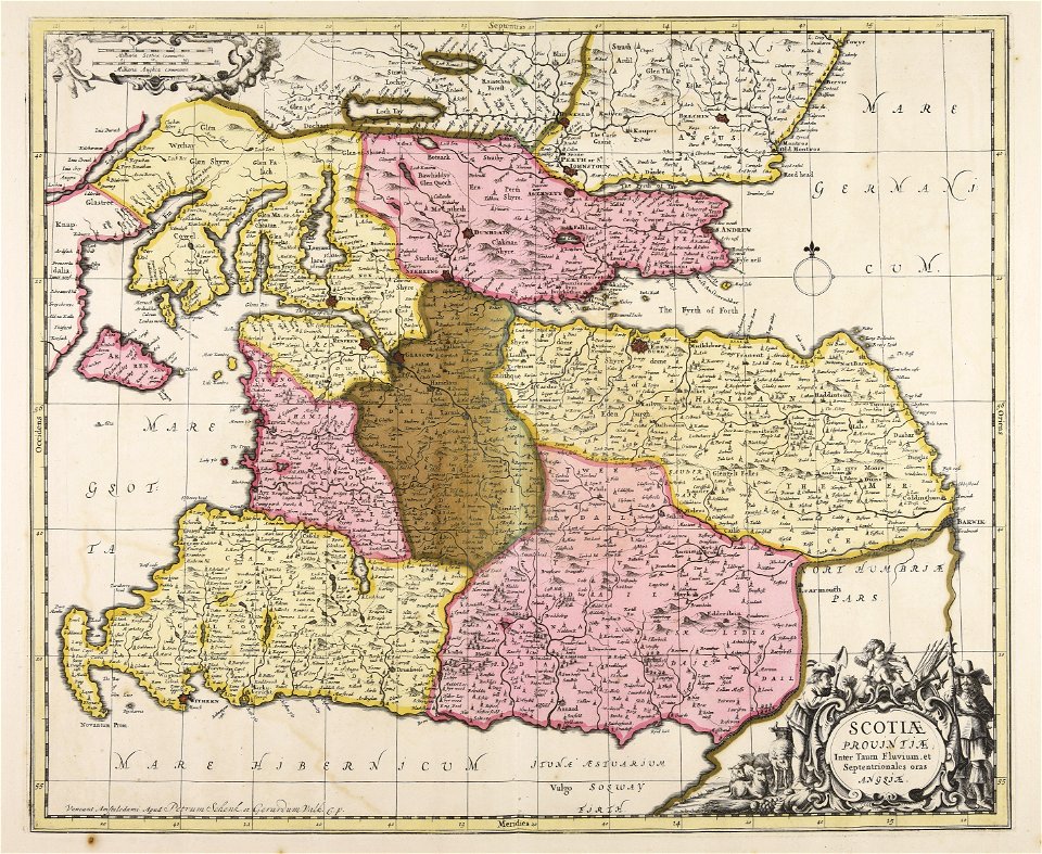
old maps of the british isles
maps made in the 18th century
old maps of peru
gerard valck
maps made in the 17th century
gerard valck
maps made in the 17th century
gulf of trieste
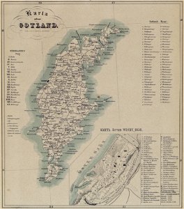
maps of gotland
pehr arvid säve
birds in art of france
lions in art
maps made in the 17th century
gerard valck
maps made in the 17th century
gerard valck
pages with isbn errors
000
maps made in the 17th century
gerard valck
maps made in the 17th century
gerard valck
maps made in the 17th century
gerard valck
maps made in the 17th century
gerard valck
coats of arms of galicia (spain)
holy roman empire
old maps of south africa
boer
l'illustration
1862
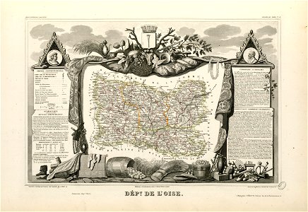
coats of arms of cities in oise
old maps of oise
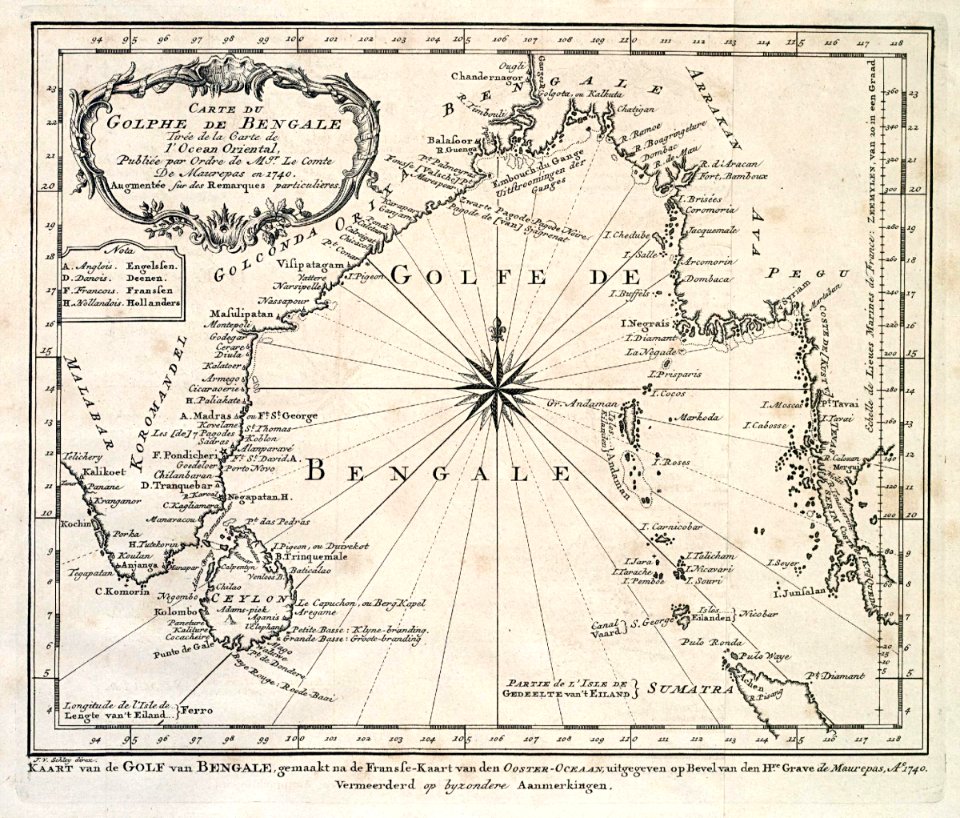
dutch bengal
1747)
maps by willem and johannes blaeu
wijnhaven, the hague
old maps of austria-hungary
austro-hungarian army
19th-century maps of the spanish empire
1810s maps of south america
maps by sebastian münster
old maps of slovakia
maps in the library of congress
sailing ships of spain
maps in the library of congress
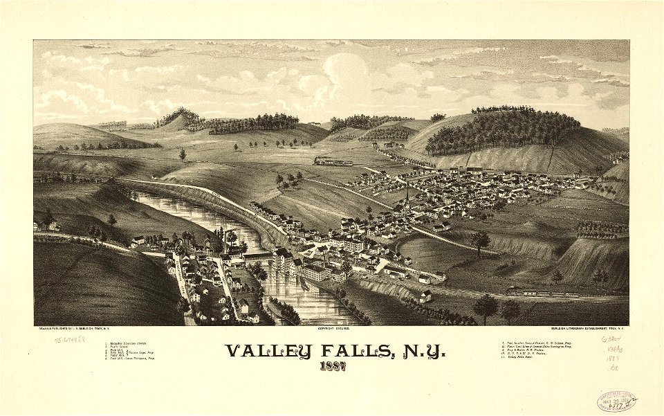
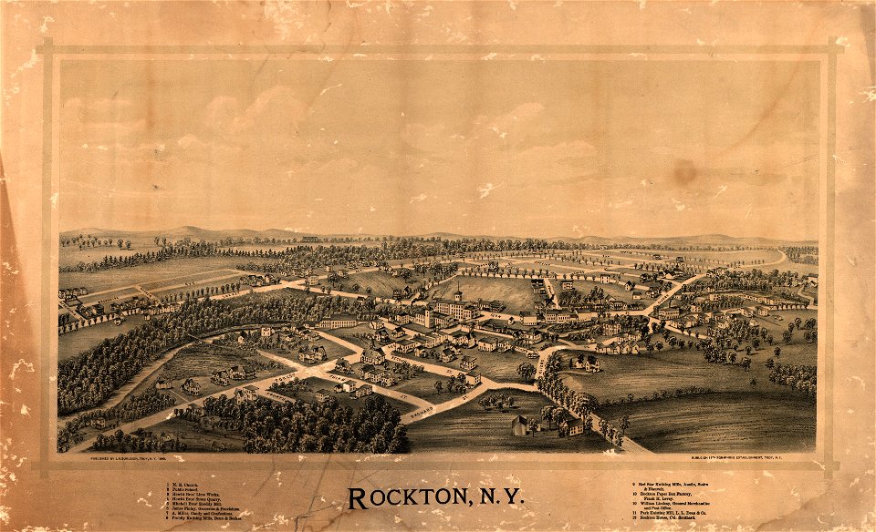
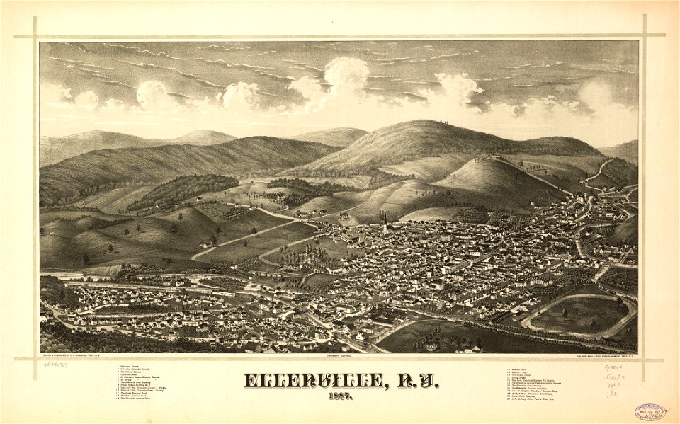
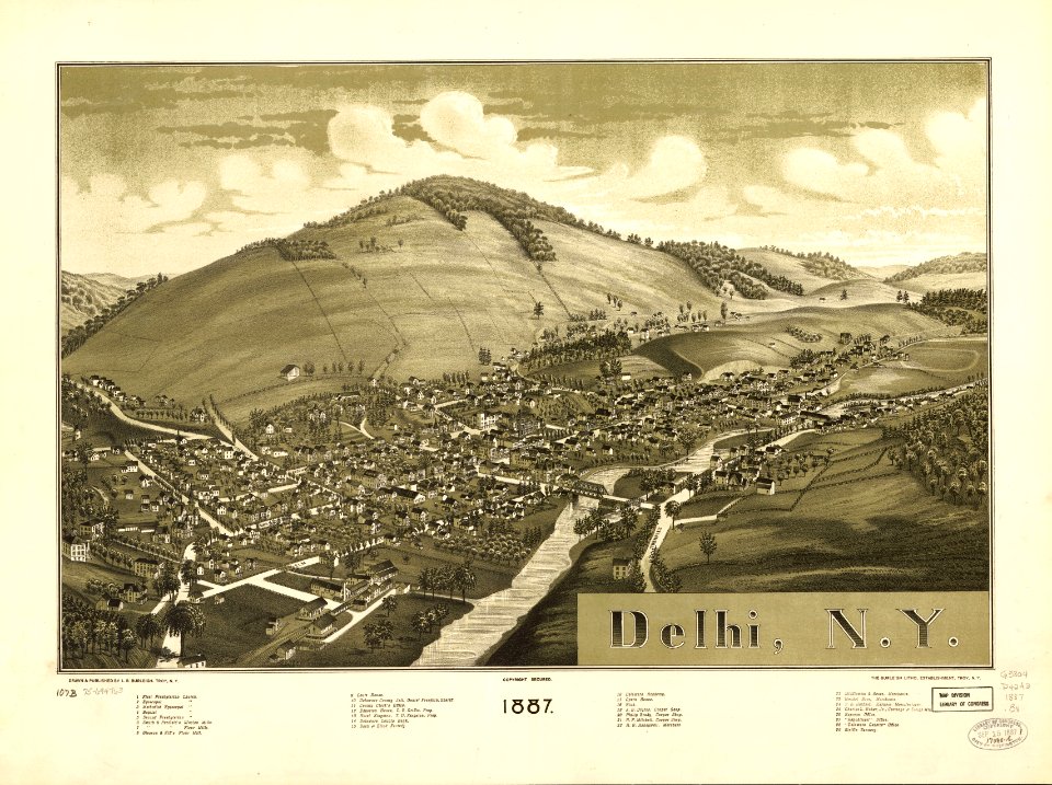
o. h. bailey
maps in the library of congress
o. h. bailey
new york
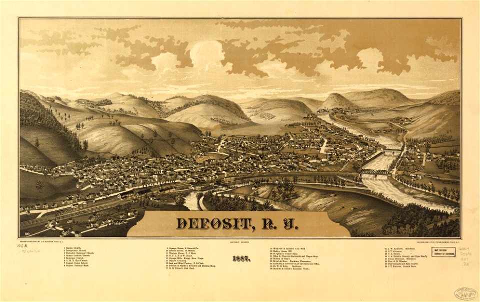
deposits
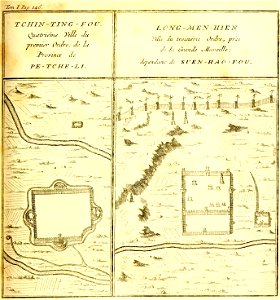
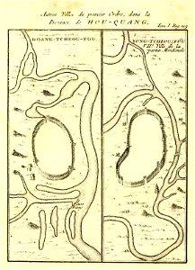
french-language maps of china
hebei
description de la chine
huangzhou district
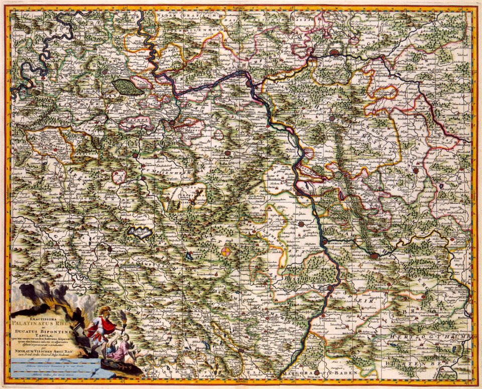
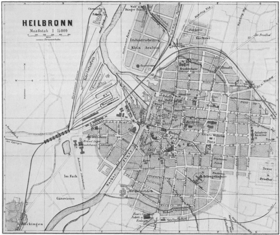
old maps of baden-württemberg
1552
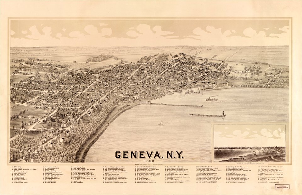
new york
geneva
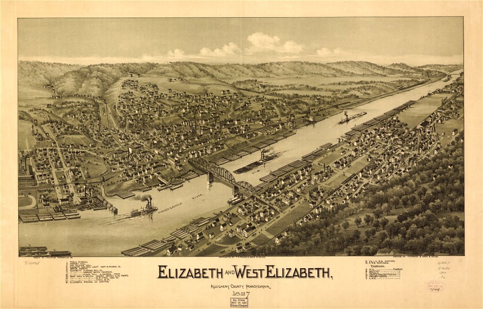
pennsylvania
elizabeth
pennsylvania
elizabeth
maps in the library of congress
new york
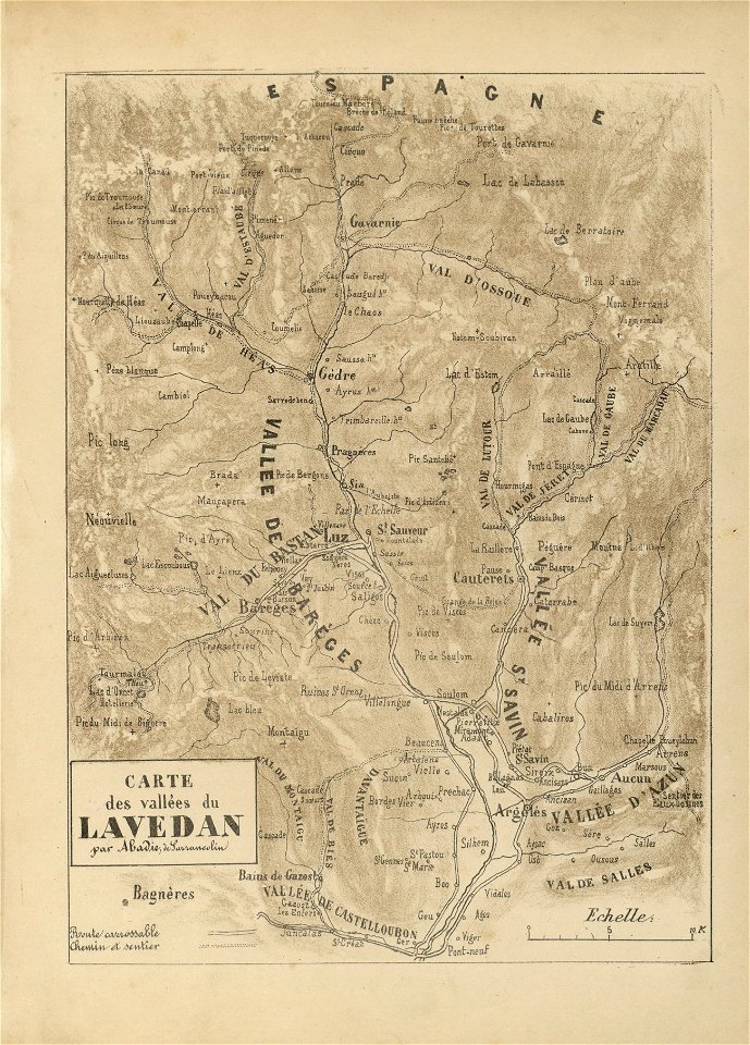
fonds ancely - bibliothèque municipale de toulouse - maps
joseph-bernard abadie
fonds ancely - bibliothèque municipale de toulouse - maps
joseph-bernard abadie
fonds ancely - bibliothèque municipale de toulouse - maps
joseph-bernard abadie
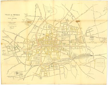
rennes in the 1910s
1914 maps
maps by brockhaus
old maps of cairo
islands of california
nicolas de fer
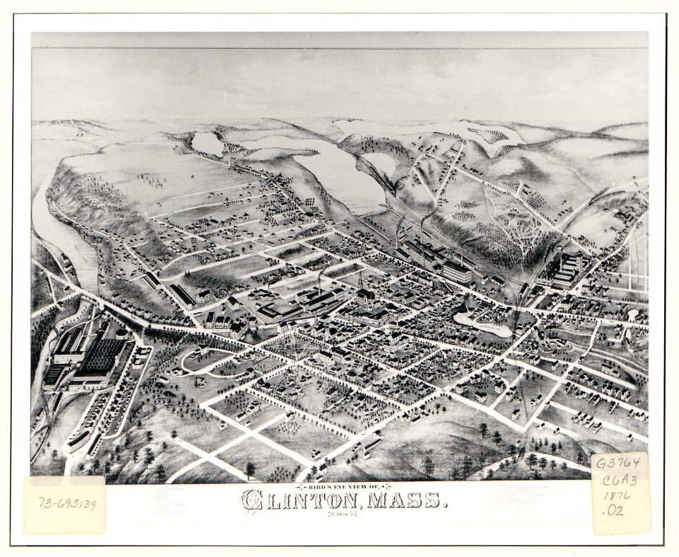
massachusetts
clinton
massachusetts
clinton
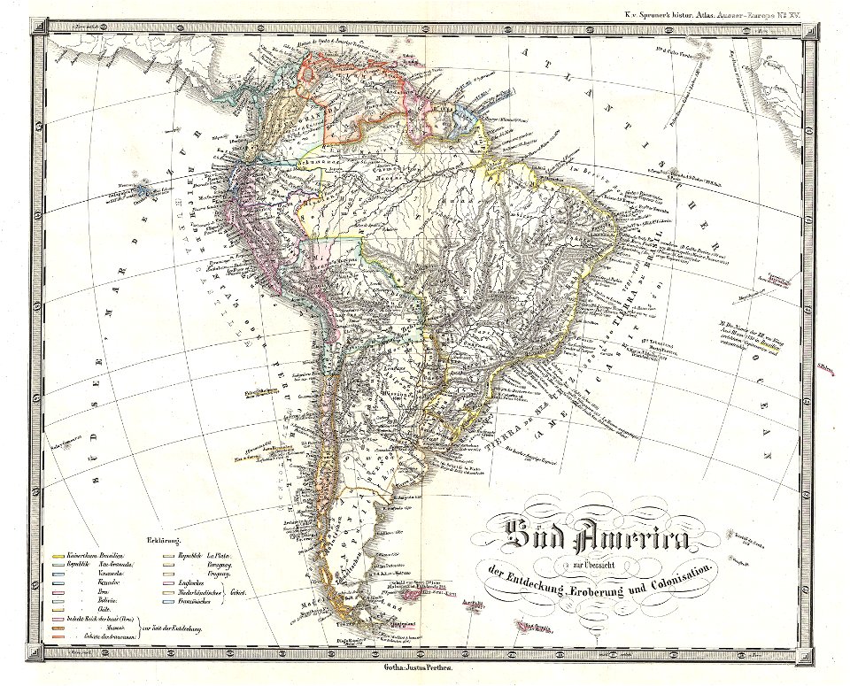
1850s maps of south america
karl spruner von merz
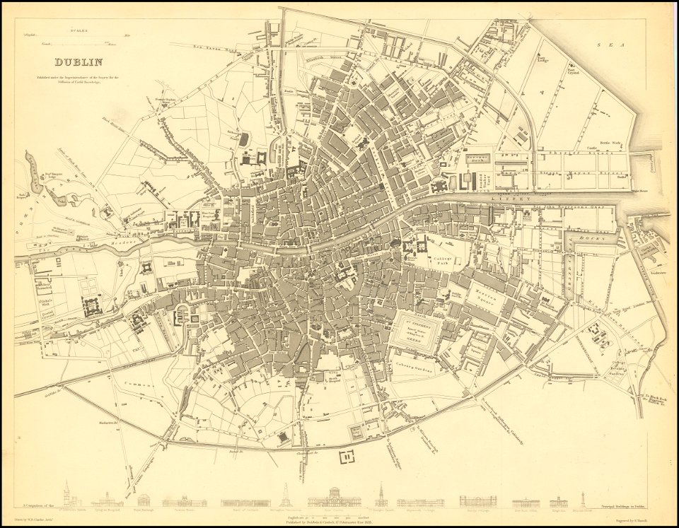
society for the diffusion of useful knowledge (great britain)
old maps of dublin
society for the diffusion of useful knowledge (great britain)
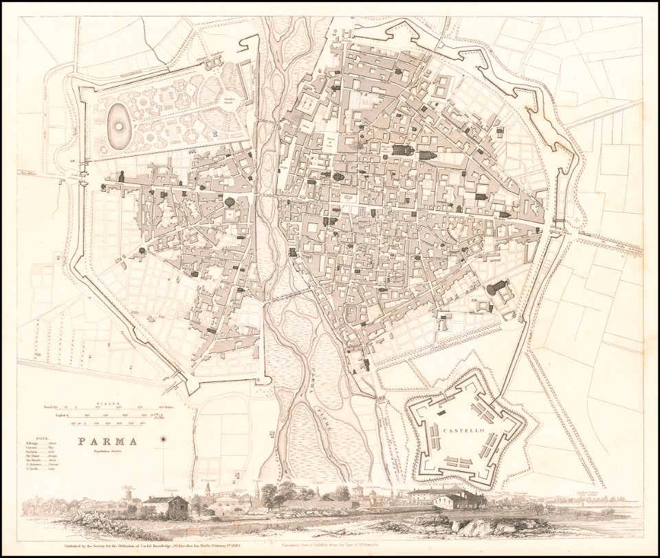
1840 maps
society for the diffusion of useful knowledge (great britain)
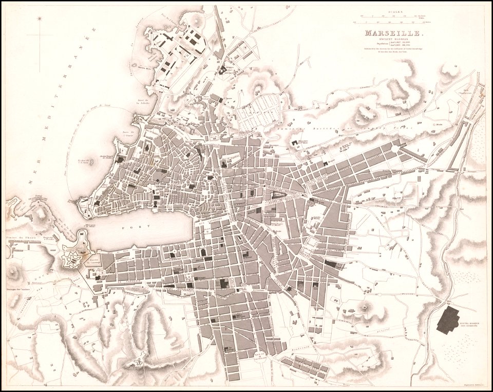
old maps of marseille
old maps of asia
1892 maps
old maps of asia
1892 maps
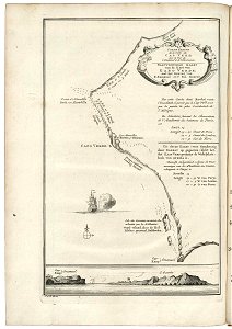
lake george, new york
1768 maps
charts and maps of the royal museums greenwich
18th-century maps of the mediterranean sea
charts and maps of the royal museums greenwich
18th-century maps of the mediterranean sea
charts and maps of the royal museums greenwich
old maps of guangzhou
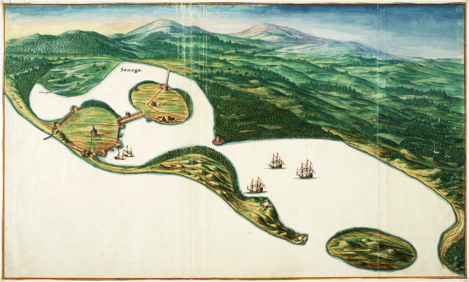
saint-louis region
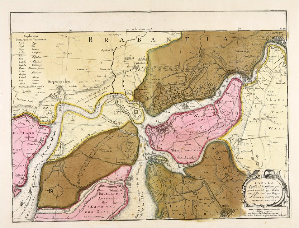
1745
maps in the stadsarchief amsterdam
collectie atlas dreesmann
saint-louis region
1665
17th-century maps of africa
1635
jacobus van der schley
maps of west africa
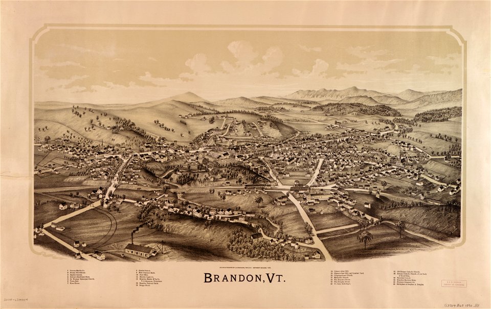
vermont
brandon
west-indische compagnie
1639 maps
new york
delhi
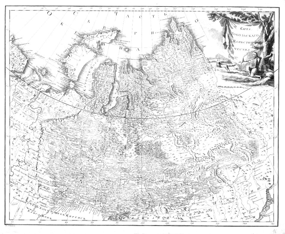
atlas of the russian empire (1792)
old maps of tobolsk governorate
maps in the stadsarchief amsterdam
old maps of amsterdam
maps in the stadsarchief amsterdam
old maps of amsterdam
maps in the stadsarchief amsterdam
old maps of amsterdam
maps in the stadsarchief amsterdam
old maps of amsterdam
maps in the stadsarchief amsterdam
old maps of amsterdam
maps in the stadsarchief amsterdam
old maps of amsterdam
maps in the stadsarchief amsterdam
old maps of amsterdam
maps in the stadsarchief amsterdam
old maps of amsterdam
maps in the stadsarchief amsterdam
old maps of amsterdam
maps in the stadsarchief amsterdam
old maps of amsterdam
4501 - 4600 of 33,402
Next page
/ 335